Scotland's Fourth Land Use Strategy: supporting evidence pack
The evidence pack to support Scotland’s Fourth Land Use Strategy. It draws on published materials to provide a baseline understanding of land in Scotland, and aims to increase awareness of the interplay between landscape, land use and ecosystem services.
5 Methods
5.1 Storymap
Colleagues at the James Hutton Institute in the Land Use Transformations project (JHI-C3-1) funded by Scottish Government’s 2022-2027 ENRA Strategic Research Programme have produced an accompanying storymap to this document. This storymap allows users to view and compare map products to one another, along with more detail on the content of some maps.
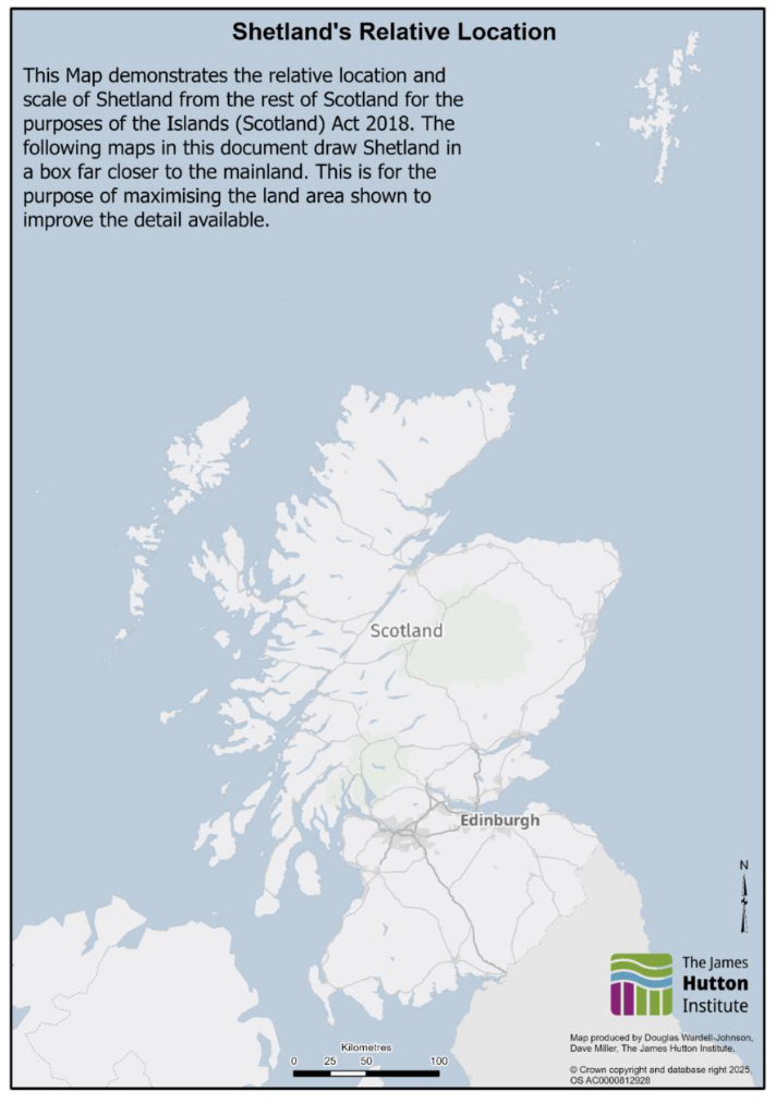
5.2 Shetland
In the storymap and in this evidence pack, several maps do not show Shetland in its true geographic location, as required by the Islands (Scotland) Act 2018. This is in order to maximise the view of Scotland’s, and Shetland’s, land, which is the focus of this evidence pack. Showing Shetland in its true geographic position for each map would result in a loss of around 40% of the detail on the land. Figure 24 shows Shetland in its true geographic location; other maps should be viewed with the recognition of Shetland’s true geography.
Contact
Email: lus4@gov.scot