Highly Protected Marine Areas (HPMAs) - site selection: draft guidelines
Guidelines describing the proposed process for identifying and selecting Highly Protected Marine Areas (HPMAs) in Scottish waters. These were drafted by our statutory nature conservation advisors, NatureScot and the Joint Nature Conservation Committee (JNCC).
1 Introduction
1.1 Background
The Bute House Agreement is a shared policy programme between the Scottish Government and the Scottish Green Party, which aims to build a greener, fairer, independent Scotland. The Scottish Government and the Scottish Green Party believe that the marine environment 'should be clean, healthy, safe, productive and diverse, and managed to meet the long term needs of nature and people'. The agreement sets out several commitments to help achieve this vision, including the designation of at least 10% of Scotland's seas as Highly Protected Marine Areas (HPMAs) by 2026. The guidelines set out in this document will be applied when selecting HPMAs in Scotland.
The introduction of HPMAs will support the delivery of a wide range of regional and international obligations on marine protection.
1.2 Purpose and scope
These draft guidelines, produced jointly by NatureScot and the Joint Nature Conservation Committee (JNCC), set out how HPMAs will be identified in Scottish waters. The draft guidelines complement the broader policy framework for identifying HPMAs developed by Marine Scotland.
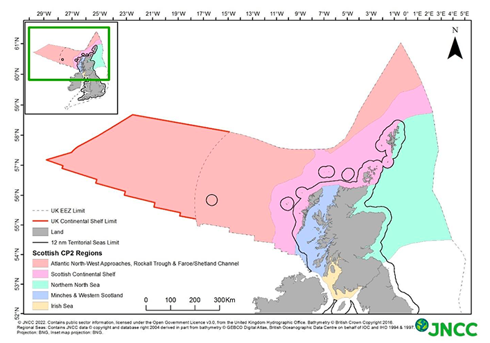
For Scottish inshore waters (up to 12 nautical miles from the coast), there is full legislative competence within Scotland to introduce the necessary powers to designate HPMAs through primary legislation. For the Scottish offshore region (beyond 12 nautical miles out to the outer limits of the UK continental shelf), powers over the marine environment are currently reserved to the UK Government (with some exceptions). The Scottish Government is seeking agreement from the UK Government to provide for equivalent powers for Scottish Ministers to designate HPMAs in Scottish offshore waters. The intention is that the guidelines will apply to the selection of HPMAs in the Scottish inshore region and the Scottish offshore region once the necessary powers are in place. Throughout these guidelines, these areas are collectively referred to as Scotland's seas (see Figure 1).
The guidelines apply to marine areas below the height of mean low water spring tides. HPMAs will therefore not encompass foreshore (intertidal) areas around Scotland.
Scottish Ministers will exclude some areas from consideration e.g. on the grounds of national security, public health or lifeline services. Further information can be found in the Policy Framework.
Contact
Email: HPMA@gov.scot